Wenxia Dai, Bisheng Yang, Xinlian Liang, Zhen Dong, Ronggang Huang, Yunsheng Wang, Wuyan Li,Automated fusion of forest airborne and terrestrial point clouds through canopy density analysis,ISPRS Journal of Photogrammetry and Remote Sensing,Volume 156,2019,Pages 94-107,ISSN 0924-2716,https://doi.org/10.1016/j.isprsjprs.2019.08.008.
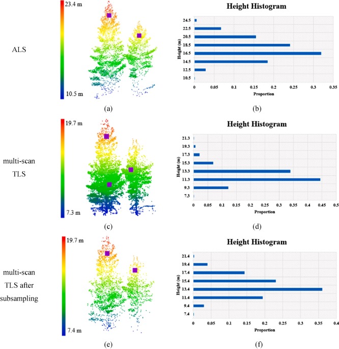
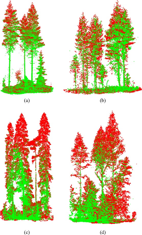
Abstract:Airborne laser scanning (ALS) and terrestrial laser scanning (TLS) systems are effective ways to capture the 3D information of forests from complementary perspectives. Registration of the two sources of point clouds is ne-cessary for various forestry applications. Since the forest point clouds show irregular and natural point distributions, standard registration methods working on geometric keypoints (e.g., points, lines, and planes) are likely to fail. Hence, we propose a novel method to register the ALS and TLS forest point clouds through density analysis of the crowns. The proposed method extracts mode-based keypoints by the mean shift method and aligns them by maximum likelihood estimation. Firstly, the differences in the point densities of the ALS and TLS crowns are minimized to produce analogous modes, which represent the local maxima of the underlying probability density function (PDF). The mode-based keypoints are then aligned through the coherent point drift(CPD) algorithm, which is independent of the descriptor similarities and considers the alignment as a maximum likelihood estimation problem. The sets of keypoints derived from the two data sources need not be equal. Finally, the recovered transformation is applied to the original point clouds and refined through the standard iterative closest point (ICP) algorithm. In contrast to some of the existing methods, the proposed method avoids the geometric description of the forest point clouds. Furthermore, additional information such as tree diameter or height is not required to evaluate the similarities. The experiments in this study were conducted in a Scandinavian boreal forest, located in Evo, Finland. The proposed method was tested on four datasets (ALS data: a circle with a diameter of 60m, multi-scan TLS data: 32 ×32 m) with heterogeneous tree species and structures. The results showed that the proposed probabilistic-based method obtains a good performance with a 3D distance residual of 0.069m, and improved the accuracy of the registration when compared with the existing methods.
Keywords: Airborne laser scanning (ALS); Terrestrial laser scanning (TLS); Forest; Point clouds; Registration


Download